PDF
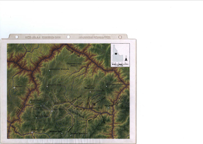
Colored map of Chamberlain Basin Item Info
- Title:
- Colored map of Chamberlain Basin
- Description:
- Physical map of Chamberlain Basin in central Idaho
- Subjects:
- forestry maps basins (landforms) text document
- Latitude:
- 44.029014
- Longitude:
- -114.600214
- Source Identifier:
- b06-Maps03
- Type:
- Text
- Format:
- application/pdf
Source
- Preferred Citation:
- "Colored map of Chamberlain Basin", Taylor Wilderness Research Station Archive, University of Idaho Library Digital Initiatives
- Reference Link:
- https://www.lib.uidaho.edu/taylor-archive/items/b06-maps03.html
Rights
- Rights:
- In Copyright. Educational Use only. Educational use includes non-commercial use of text and images in materials for teaching and research purposes. Digital reproduction permissions assigned by University of Idaho Library. For more information, please contact University of Idaho Library Special Collections and Archives Department at libspec@uidaho.edu.

